If you are planning hiking in Switzerland from the United Kingdom, this guide helps you choose the best hikes Switzerland has to offer. It brings together routes for every ability, from easy scenic Swiss walks by lakes to challenging alpine passes.
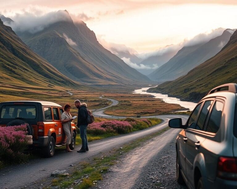
Expect well-maintained paths and clear waymarking: white-red-white for mountain trails and yellow for easier routes. Altitude changes can be steep, so check elevation profiles before you set out. Swiss public transport links, including SBB trains and PostBus services, make point-to-point itineraries simple to arrange.
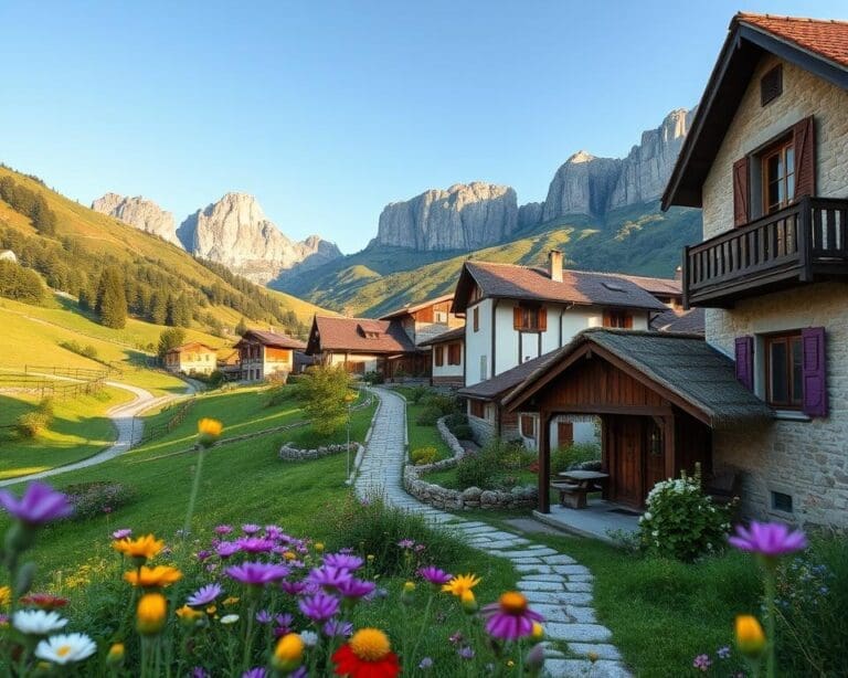
Switzerland’s terrain varies dramatically — high peaks, glacier corridors, green valleys and pastoral meadows — so you can tailor your walk to the view you want. Switzerland hiking also spans three language regions: German, French and Italian. Signage or hut keepers may use different languages, but tourism staff commonly speak English.
The main walking season runs from late spring to early autumn (May–October). Summer offers long daylight and wildflowers, while high alpine passes and glacier routes are safest in mid-summer. Outside that window, late autumn and winter are better suited to snowshoeing and ski touring than standard hiking.
Recommendations here draw on reliable sources such as Schweiz Tourismus, the Swiss Alpine Club (SAC), and established guidebooks from Cicerone and Lonely Planet. That ensures accurate descriptions of Swiss hiking routes, difficulty grades and current hut information for your trip planning.
Switzerland hiking: top scenic trails for every level
Switzerland offers trails that suit every pace and ambition. You’ll find short panoramic routes for quick day adventures, demanding multi-day treks for seasoned hikers, and gentle family walks that entertain children. Public transport links and mountain railways make many starts and finishes easy to reach.
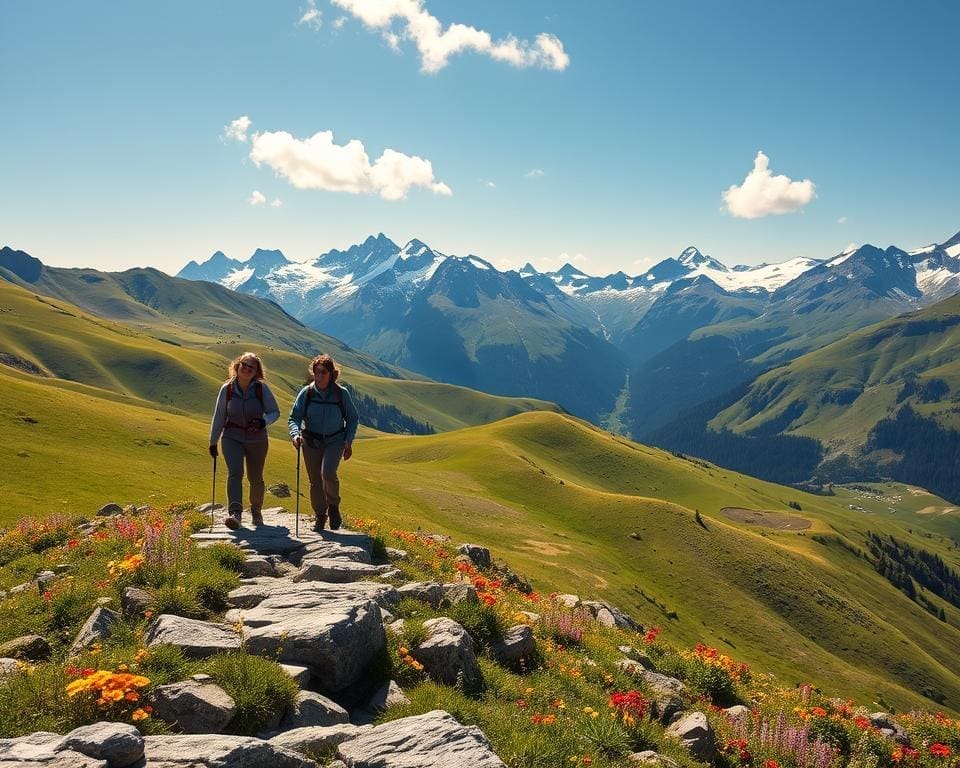
Panoramic routes for day hikes give big views without overnight gear. Try the Oeschinensee Panorama Trail from Kandersteg: about 8 km with 300–450 m ascent and roughly 3–4 hours, reached by train and cable car. Near Grindelwald the First Cliff Walk and the trail to Bachalpsee are 2–6 km options with turquoise lake views and ridgeline scenery; allow 2–3 hours. The Rigi Panorama Trail above Lake Lucerne runs 10–12 km with modest climbs and broad lake vistas, accessible by cog railway. The Schynige Platte to Faulhorn ridge is longer and steeper at 6–8 hours but rewards you with alpine ridgelines and flower meadows. Most day hikes Switzerland routes are graded easy to moderate on the Swiss Alpine Club scale; check local signage for exposed or steep sections that need sure-footedness.
Panoramic routes for day hikes
You should plan for variable weather and wear layers. Day hikes Switzerland often start from stations or cable cars, so you can shorten your route if clouds roll in. Carry a map, water and snack, and consult SAC updates for trail conditions.
Multi-day treks for experienced hikers
Multi-day treks Switzerland range from a couple of days to fortnight-long adventures. The Haute Route variant from Chamonix to Zermatt takes 6–12 days depending on stages and conditions and includes high cols with glacier approaches. The Tour du Mont Blanc crosses Swiss sectors as part of a 8–12 day loop; expect daily stages of 12–25 km with altitude changes. Bernese Oberland traverses, such as links between Lauterbrunnen and Kandersteg, often use ridges and saddles across 3–7 days. A longer option is the 5 Lakes Walk expanded into a multi-day itinerary, with lake-side stages and lower technical demand.
Expect altitude ranges from 1,200 to 3,000 metres on these routes. Some stages involve exposed saddles or glacier crossings that need crampons, rope and alpine experience. You should check SAC and local hut advisories for crevasse risk, summer snow and closures. Allow contingency days for storms and plan daily distances that match your group’s pace.
Family-friendly and easy walks
Family walks Switzerland include gentle paths around Lake Cauma and Lake Cresta in Flims that are stroller-friendly in parts and feature play areas. The Seerundweg sections around Lake Lucerne offer short circuits with boat or train links. Interlaken and Zermatt valley floors have low-altitude promenades with themed trails, playgrounds and easy access to mountain railways.
For families pick lower-altitude easy hikes Swiss Alps to reduce weather risk. Plan frequent stops, pack sun protection and spare layers, and use cable cars to shorten ascents. Many routes include educational boards, treasure-hunt trails and opportunities to see marmots or ibex, which keep children engaged. Swiss public transport has family fares and child discounts that make transfers and shortening stages straightforward.
Iconic alpine routes and what makes them special
You will find Switzerland’s alpine iconic routes packed with variety, from glacier panoramas to tranquil meadows. These paths reward careful planning and a sense of pace. Read on to discover standout walks, access notes and why each area feels unique.
The Matterhorn and surrounding paths
Zermatt sits at the heart of Matterhorn hiking. The Hörnli Hut approach is the classic mountaineering line toward the summit and is technical, suited to experienced alpinists with guides. For less technical walking, try the Five Lakes Walk (5-Seenweg). It gives crisp reflections of the Matterhorn on calm mornings and plenty of photo opportunities.
Gornergrat Railway makes high viewpoints easy to reach. From the station you can take short panoramic walks above the Gorner Glacier and look back over multiple 4,000m peaks. Bear in mind Zermatt is car-free and reachable by train, so plan transfers in advance. Book huts and accommodation early for high-season dates. Allow time for acclimatisation to avoid altitude effects.
The Eiger, Mönch and Jungfrau corridors
The Bernese Oberland is famous for dramatic north faces, glacier-fed valleys and historic mountain railways. An Eiger walk along the Eiger Trail gives a close view beneath the towering north face. That path is steep in places but non-technical for fit hikers.
Routes such as the Männlichen to Kleine Scheidegg ridge are accessible and rewarding for day hikers. Multi-day traverses link Grindelwald, Wengen and Mürren and offer the best classic Jungfrau region hikes without needing climbing gear. Take advantage of the Bernese Oberland Railway and Jungfrau Railways to reach Jungfraujoch and other high start points for altitude-rich day outings.
Hidden gems in lesser-known regions
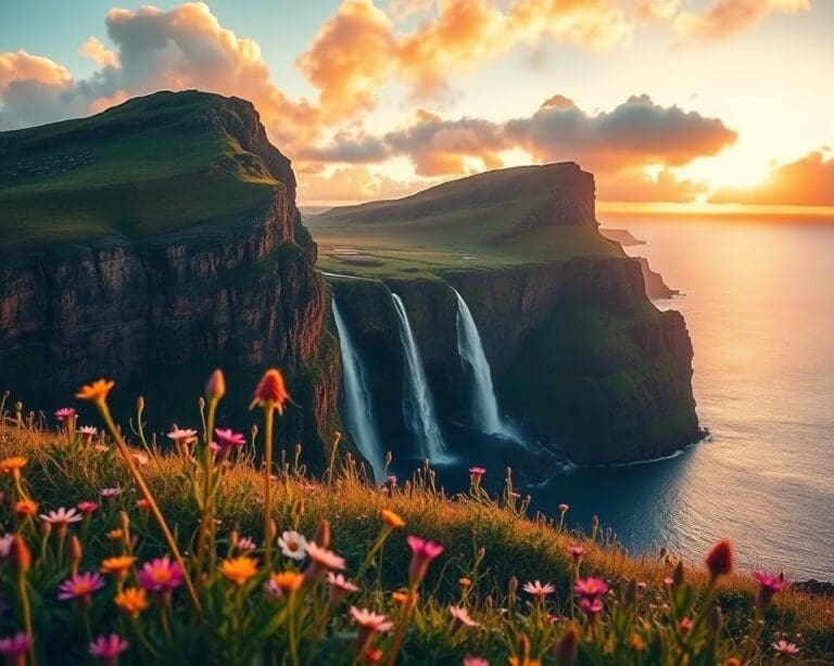
For quieter trails, explore Valais side valleys such as Val d’Anniviers. You will find pastoral paths, high alpine passes and karst ridges in the Jura Crest Trail segments. The Alpstein massif in Appenzell rewards you with limestone summits and wildflower meadows. Graubünden’s valleys, including Val Bregaglia and areas near Zernez, offer remote high passes and access to the Swiss National Park.
Smaller cantonal trains and buses serve many trailheads, but timetables can be sparse outside summer. In Italian- and Romansh-speaking areas expect local language signs and friendly, practical help. Visit quieter seasons like late spring or early autumn for many hidden hikes Switzerland keeps to itself. Respect conservation rules in protected zones; in places such as Swiss National Park you must stay on marked paths.
Practical planning for hiking in Switzerland
You want clear, practical steps before setting off into the Alps. Good Switzerland hiking planning makes your trip safer and more enjoyable. Read the brief guidance below on timing, places to sleep and essential kit.
When to hike: seasons and weather considerations
Late May and June suit lower trails and alpine meadows as snow melts and wildflowers appear. July and August open high passes and glacier approaches, but trails are busiest and afternoon storms grow common.
September brings clearer skies, crisper air and autumn colour with fewer people. October still permits lower-elevation walks before winter snows return. Check MeteoSwiss forecasts and local avalanche bulletins outside the summer months.
Weather in the Alps changes quickly. Expect warm mornings, cooler nights and the chance of late-afternoon thunderstorms. Be aware that overnight freeze–thaw cycles raise rockfall risk and leave snowfields on higher routes.
Accommodation and hut booking
Options range from Swiss Alpine Club (SAC) huts and private mountain huts to valley hotels, guesthouses and agritourism stays. SAC huts often offer dormitory bunks, a few private rooms and half-board meals.
Advance mountain hut booking Switzerland is essential in July and August. Reserve via SAC websites or regional tourist offices. If huts are full, shift your stage plan or book valley accommodation for the night.
Know hut etiquette: arrive by the stated time, use drying rooms, expect limited electricity and respect shared sleeping quarters. Use Swiss Federal Railways (SBB) for travel bookings and consider a Swiss Travel Pass or regional guest card to reduce transport costs.
Gear, safety and navigation
Pack layers, a waterproof shell, an insulated mid-layer and sturdy hiking boots. Include map and compass or a reliable GPS device, first-aid kit, headlamp, sun protection, plenty of water and high-energy snacks.
For high-alpine or multi-day treks you may need crampons, an ice axe and rope for glacier travel. Hire experienced guides accredited by the Swiss Alpine Club or UIAGM/IFMGA for technical routes.
Learn Swiss trail markings: yellow for easy trails, white-red-white for mountain trails, white-blue-white for alpine routes. Use official route descriptions from SAC and SchweizMobil and offline mapping apps such as SwissTopo, Komoot or Outdooractive.
Prioritise hiking safety Switzerland by registering your plan with someone at home and checking avalanche warnings before you leave. Know emergency numbers (112/144) and contact Rega air rescue or local alpine rescue if needed.
Follow leave-no-trace principles and reduce risk when hiking solo by choosing appropriate routes, turning back early if conditions worsen and carrying communication devices. Review what to pack for Swiss hikes with care so you have the right kit for the season and terrain.
Sustainable hiking and local culture
When you plan trails in the Swiss Alps, think about sustainable hiking Switzerland from the outset. Stick to waymarked paths to protect alpine plants, carry out all litter, use refillable bottles because tap water in Switzerland is high quality, and avoid feeding wildlife. Public transport and mountain railways reduce car use; the Swiss Travel Pass and local rail services make many trailheads easy to reach without a car.
Be aware of season-sensitive routes and closures that protect breeding birds or allow vegetation to recover. Check notices from cantonal authorities and national parks before you set off. In strict areas such as Swiss National Park, rules forbid off-track walking, camping and dogs; regional parks may have different limits but still expect compliance to preserve habitat.
Support local communities by choosing family-run guesthouses, buying bread and supplies from village bakeries, and tasting regional foods like Alpine cheese, rösti and Valais dried meat. Visiting an alpage during cheese-making season helps you connect with local Swiss culture hiking traditions and channels tourism revenue into hut maintenance and rural livelihoods.
Respect Swiss mountain manners: greet hut wardens and locals, observe quiet hours, follow separate recycling streams and tip modestly where appropriate. For longer trips, consider low-impact guides or operators, offset emissions from flights and support organisations such as the Swiss Alpine Club that maintain trails and conserve habitats. Practising leave no trace Switzerland values ensures these landscapes endure for other people and future generations.